Services
We specialize in soil and ecosystem mapping and monitoring services, offering expert guidance and innovative solutions to governmental, non-governmental, research and private sector organizations working in Africa. We focus on addressing critical issues such as land degradation, soil health, urbanization, cropland expansion, and environmental management. Our services include comprehensive survey planning, detailed reporting and documentation, tailored training and capacity-building programs, operational support, and leading-edge research into new technologies and methodologies. By leveraging advanced satellite imagery, GIS technologies, and machine learning, we empower our clients with actionable insights and sustainable strategies for land management. Our commitment is to foster environmental stewardship, promote sustainable development, and contribute to the well-being of communities across Africa.

AfSIS resource repository at OSF
Explore our dynamic repository of active AfSIS Ltd projects, where we’re pioneering advancements in soil and ecosystem information across various African countries. We offer unrestricted access to a wealth of information resources designed to foster collaboration, innovation, and wide-reaching impact, including:
- Project Plans & Descriptions
- Procedures
- Data & Metadata
- Pretrained Models
- Notebooks
- Web Materials
- Reports, Presentations and Graphics
Dive into our extensive, and growing, collection of project resources, each meticulously curated for maximum shareability. Whether for academic, professional, or personal purposes, all we ask is that you cite the source using the provided digital object identifier (DOI).
Data analysis and informatics services
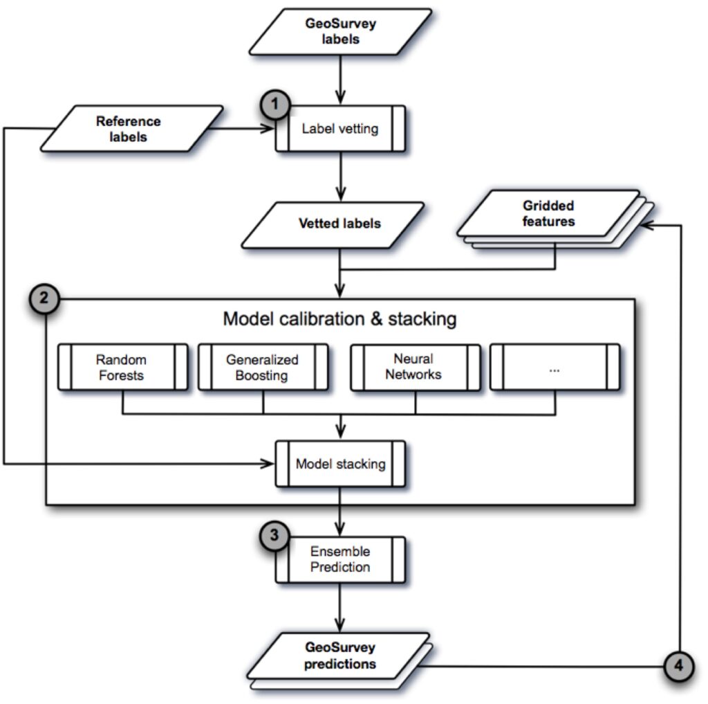
Our main strengths are in collaborating on, designing, and assisting with potentially complex data mining and prediction analyses, information delivery/deployments, and recommendation tasks in landscape projects. We try to cover new and potentially interesting geostatistical, machine and deep learning topics for handling e.g., multilabel proximal and remote sensing topics that are not yet widely covered in the literature or in ecosystem and landscape management practice. But we are flexible and will take our collaborator’s interests and priorities into account first and foremost! We have a high level of competency in:
- Geostatistical survey and experimental design setups.
- Field and laboratory data analytics.
- Remote sensing, drone, and spatial informatics.
- Plant biomarker discovery and data mining.
- Integrated compositional data analyses (e.g., rock, soil, plant, and livestock samples).
- Crop and livestock distribution modeling.
- Predictive soil carbon and nutrient mapping.
- Spatially explicit recommender systems (for e.g., crop choice, fertilizer, and lime applications).
- Ecosystems and landscape monitoring.
We try to keep everything quite practical in imparting gold-standard data science practices to our collaborators and partners.


Custom laboratory information management systems
Every laboratory needs a system to manage the information it produces. Identifying the different components of a Laboratory Information Management System (LIMS) and their purpose helps develop the system that best reflects a lab’s unique workflows. We offer support for developing customized LIMS, which cover the interconnected workflows associated with:
- Sample reception and login, sample drying, grinding, and pre-processing for geological, soil, plant, and/or livestock biomarker samples.
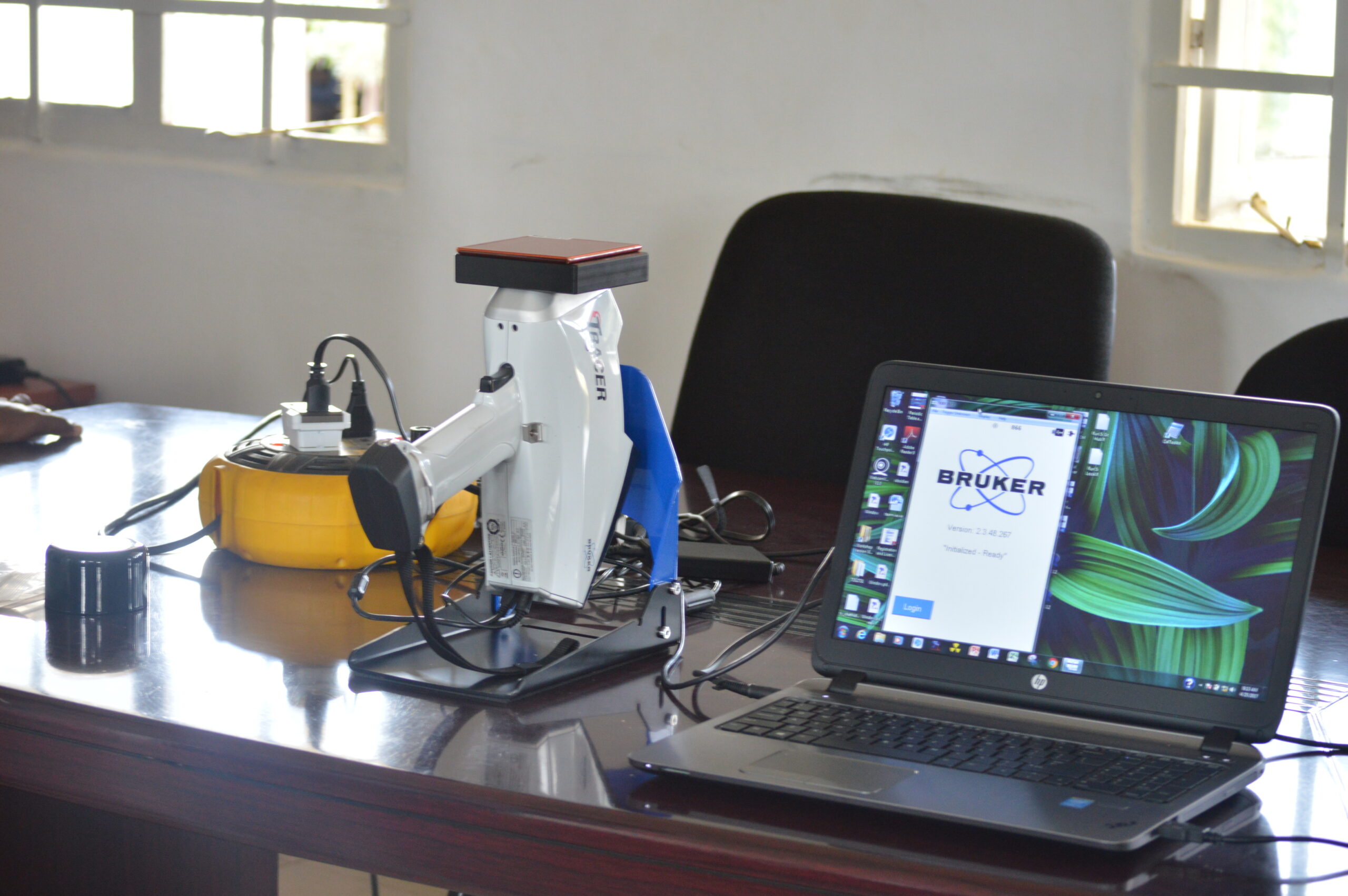
- Various sample analyses including: Near-Infrared, Mid-Infrared, X-RAY Fluorescence, Laser Particle Size Analyses, and Inductively Coupled Plasma Spectroscopy.
- Curation of physical samples, particularly for labs that are located in remote areas or are off-grid.
- Digital curation of LIMS databases in durable, open access repositories such as OSF.
We try to ensure that all LIMS processes and data are interoperable with additional meta, spatial, and survey data and updated over time for accurate landscape monitoring.
Survey and experimental set-ups and sampling schemes
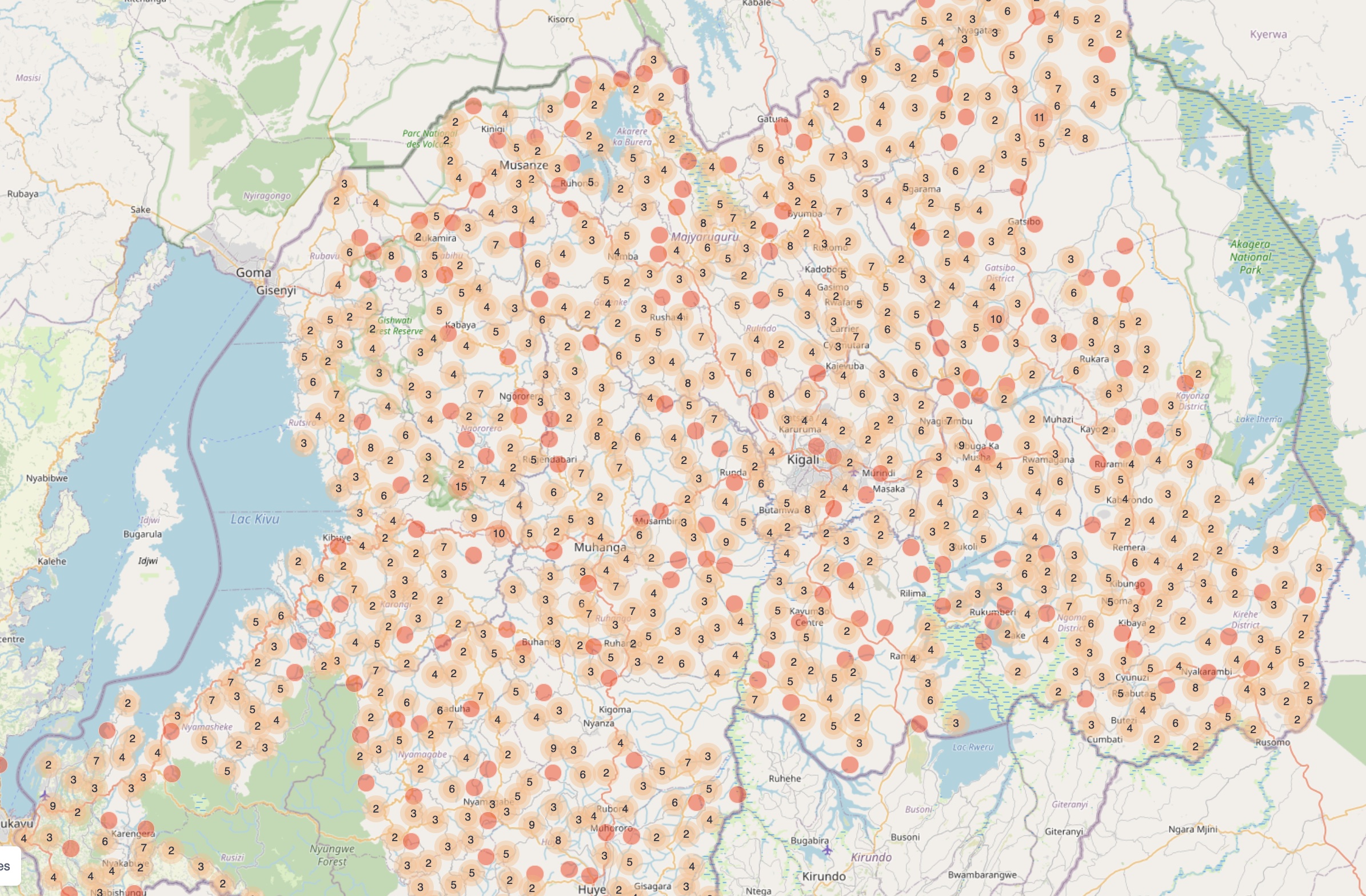
We offer support for selecting an appropriate sampling scheme for ground observations, measurements, and/or experiments. These are critical decision steps for projects that determine the main and recurrent costs of mapping or monitoring activities. Also, you can only be effective in that part of the world (and its point in time) that you are actually describing. A geographically and temporally consistent sampling scheme for field surveys and experiments should always be defined in terms of the immediate needs and constraints of the measurement, mapping, and monitoring tasks at hand, but within a long-term planning horizon and in a data interoperability context.
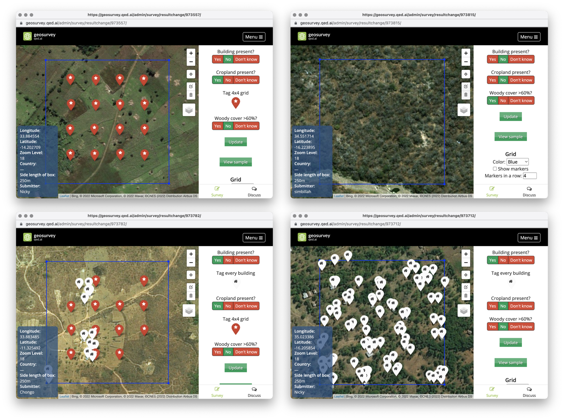
We typically use KoboToolBox and Open Data Kit for all field surveys and experimental digital data collections based on spatially representative sampling frames over both large (i.e., country-level) and small regions of interest. Every soil, plant, rock, or livestock biomarker sample that is collected for laboratory analyses is tagged with a georeferenced, universally unique ID and QR code. This ensures that all samples can be tracked from the field through any subsequent laboratory processes or sample archiving procedures. Both the sampling plan and the software set-ups for sample collections are worked out with collaborators over a ~2-day period, systematically field-tested, and revised where needed.
